Emmontagnée: 9km
An easy hike through the forest and alpine prairies. Some strenuous sections of trail.
Detailed description available at the Tourist Office.
Guidebook with maps/step-by-step :
1. Go behind the Crédit Agricole building and then past the fire station.
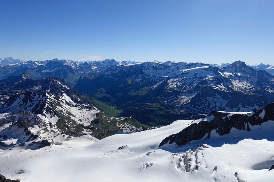
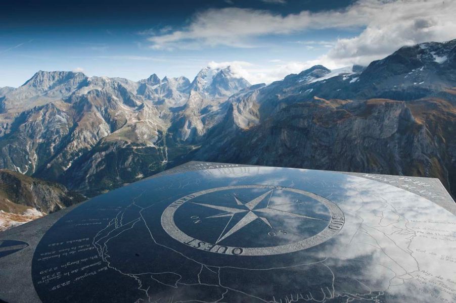
2. Join the hamlet of Le Plan and follow the road around the Plateau. Go up towards the hamlet of Chollière. View of Grande Casse and the Vanoise valley from the top of the Chollière lookout. A few stretches of tarmac road.
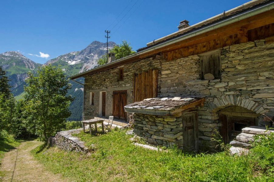
3. After the Chollière lookout, head south through the hamlet and up to Les Planes on a rolling path.
4. Cross the Gerlon bridge and then descend to the cross-country ski trail. There are a few variations in gradient along the way.
5. Join the Rocher Blanc path and cross the Isertan forest, taking care on uneven ground. Keep to the side, following the very rolling path of the penstock.
6. Return to the Hameau des Fontanettes via the Creuset bridge and descend to Pralognan via the GR55.