Mt. Bochor from Les Fontanettes
Mt. Bochor offers amazing views of the village, the Vanoise Glaciers , and Grande Casse Peak (3855m), the highest summit in Savoie.
Guidebook with maps/step-by-step :
1. The path begins at the edge of the forest on the left of the car park near the chairlift station. Steadily sloping, it meanders under the cover of the Bois des Fleets.
2. At the top, a path in the form of a thematic circuit (see page 16) will allow you to discover different facets of the valley (geology, history, agriculture…) and you can eat at Pachu.
3. On the descent, combined with trail no. 17, you can observe different architectures in the hamlets of Fontanettes and Bieux.
Non-walking family members can join you at Mont Bochor by cable car (paying access)
VARIANT of ascent
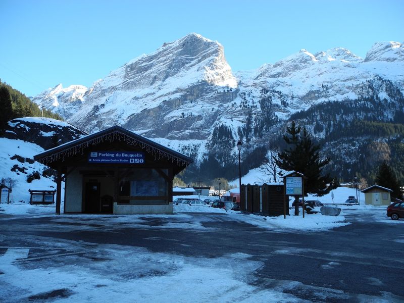
1. Path n° 3 (then 5 called “Pariettes”) From the Bouquetin car park, follow the Route des Fontanettes to the hairpin. The trail starts on the uphill side of the road at the foot of the scree. In our opinion, this is the most beautiful route to access Mont Bochor. It is exposed to the North, shaded, we recommend it to good walkers, but avoid this path on the descent because it is steep and slippery.