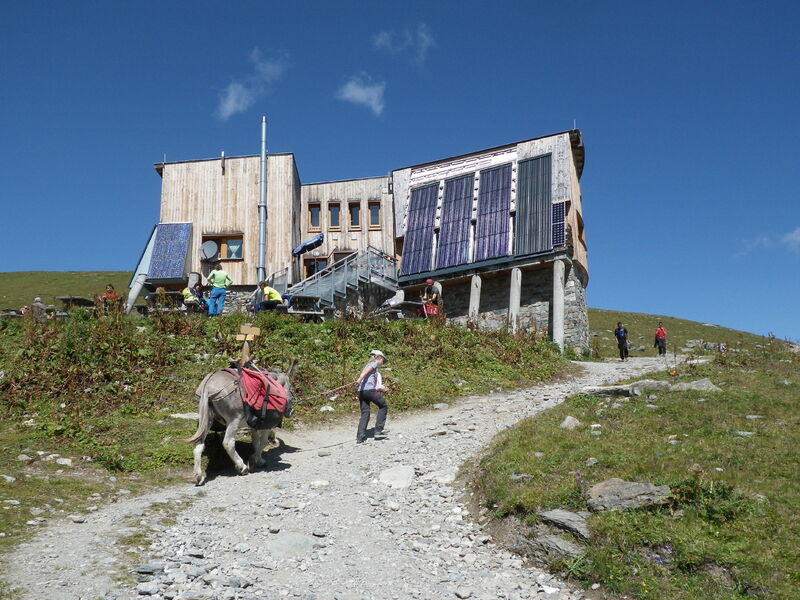
Péclet-Polset Hut
This wide, well-preserved valley for mountain agriculture is one of the last alpine valleys without any heavy development or infrastructure.
A great day out in the upper Chavière valley. A typical mountain atmosphere accompanies you along the pastoral route: the whistling of marmots, the clarines and bells of dairy cows (of the Tarine and Abondance breeds, the only ones “qualified” to make Beaufort) and finally the soothing silence of altitude. The Péclet-Polset refuge, built in 1912, is only discovered at the very last moment. Just a stone’s throw from the refuge, a visit to Lac Blanc is a must!
Guidebook with maps/step-by-step :
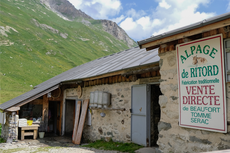
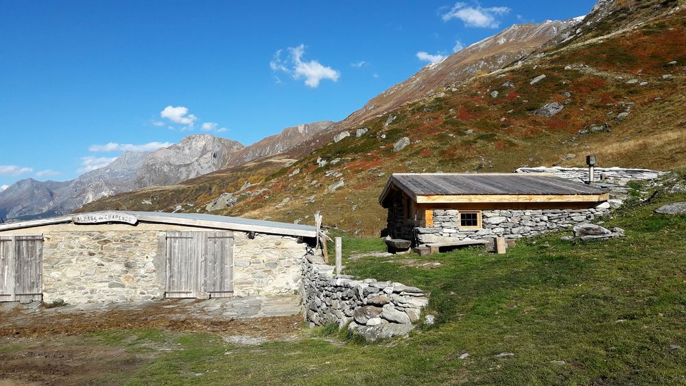
1. From the Pont de la Pêche parking lot, take the pastoral route up to the Péclet-Polset refuge (trails no. 49, 49b and 49c). This pastoral route takes you past the Roc de la Pêche refuge (1,911 m) and on to the Chapendu and Ritord mountain pastures, both in the heart of the Park.
2. On the way down, take the same route to the Pont de la Pêche parking lot.
Follow the pastoral road up to the Refuge de Péclet Polset. During your hike, you’ll undoubtedly be disturbed by passing vehicles and mountain bikes. The 4x4s on this itinerary are strictly for professional reasons: mainly alpacists, refuge wardens, mountain guides and Vanoise National Park wardens.
VARIATION: PROMONTOIRE DU LAC BLANC (2,475 m) (easy)+ 30 minutes round trip, +95 m ascent, +3 km
(in addition to the main itinerary)
Varying from turquoise blue to a milky hue depending on snowmelt, Lac Blanc is a veritable jewel in a majestic natural setting at the foot of the Gébroulaz glacier.
Follow the previous itinerary to stage 1.
1. Follow the path alongside the refuge (path no. 52) to the Lac Blanc promontory.
2. It is possible to descend to the edge of the lake by continuing on the path (snow at the beginning of the season).
3. On the way back, follow the same route.
VARIANTE: COL DU SOUFRE (2,819 m) (difficult) + 2h30 round trip, +380 m ascent, + 5 km round trip
(in addition to the previous variant)
If you dream of walking on the moon, you’re on the right track! The area, with its desert-like, lunar appearance, is frequented by ibex in high summer and offers a breathtaking view of the Gébroulaz glacier, itself dominated by the Polset (3,528 m) and Péclet (3,559 m) needles. At the pass, a few fine yellow crystals in the heart of the gypsum blocks attest to the presence of sulfur.
Follow the previous itinerary to stage 1.
1. Follow the path (trail no. 52) to the Col du Soufre.
2. On the return journey, take the same route. From the Col du Soufre, you can descend to the Refuge du Saut and the Méribel valley.
VARIANTE: COL DE CHAVIÈRE (2,796 m) (difficult) +7h, +1,030 m ascent, +19 km round trip
This mineral route, enhanced by a field of cairns, takes you to the Col de Chavière, from where the panorama is grandiose: surrounding peaks, Vanoise glaciers, Mont-Blanc massif and Écrins massif. Good equipment is essential, as even in midsummer, the final climb to the pass is often snow-covered.
1. At the junction between the Col de Chavière and the Péclet-Polset refuge, take the left-hand path towards the Col de Chavière (path no. 50) and continue up to the pass.
2. On the way down, take the same route as on the way up, as far as the Pont de la Pêche parking lot.
From the Col de Chavière, you can descend to the refuge de l’Orgère and Modane.