

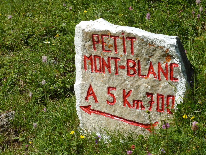
Petit Mont Blanc
If you can’t do the big one, set off to conquer the Petit Mont Blanc, which is small in name only!
If you can’t do the big one, set off to conquer conquer the Petit Mont Blanc, which is only in name!
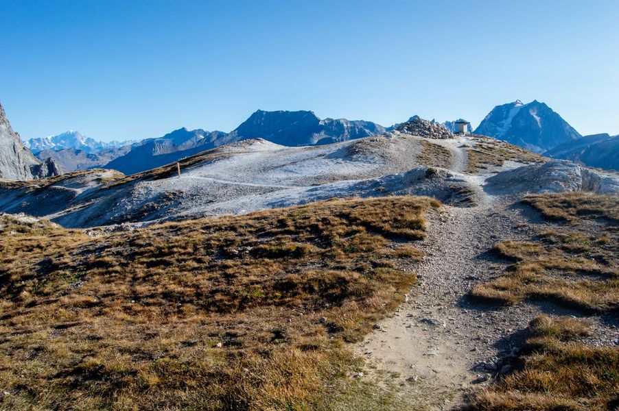
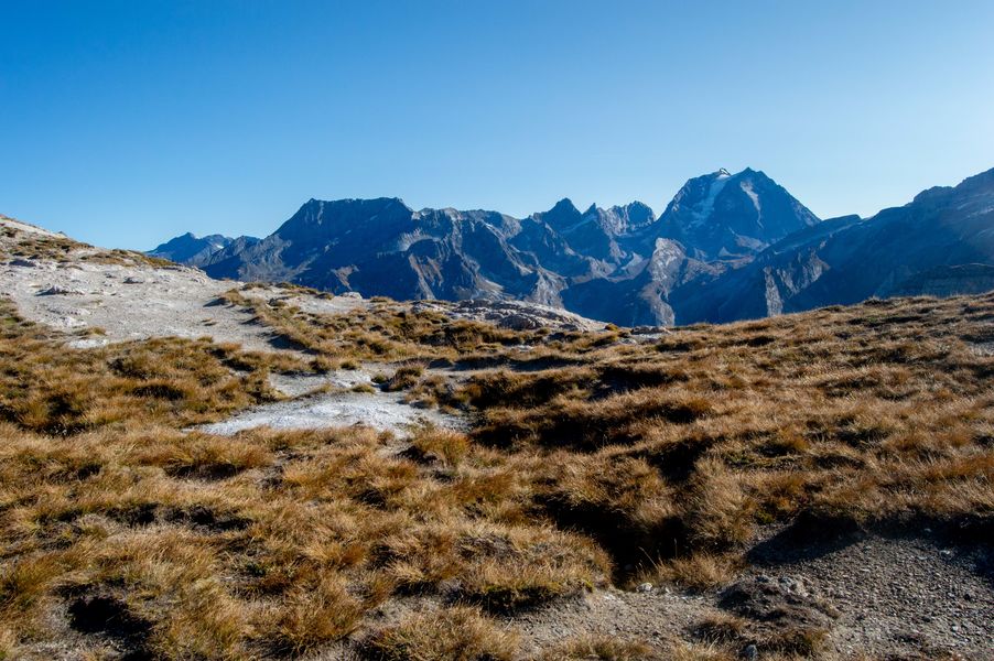
The latter is classified as a “Réserve biologique Réserve Biologique Domaniale” in recognition the variety of floristic habitats habitats to be found along its many access paths. From the summit, admire Pralognan below, the Vanoise glaciers as well as the highest peaks in Savoie and Haute Savoie: the Grande Casse (3,855 m) and Mont Blanc (4 807 m). A 360° orientation table awaits you appreciate the geography of the Alps!
Guidebook with maps/step-by-step :
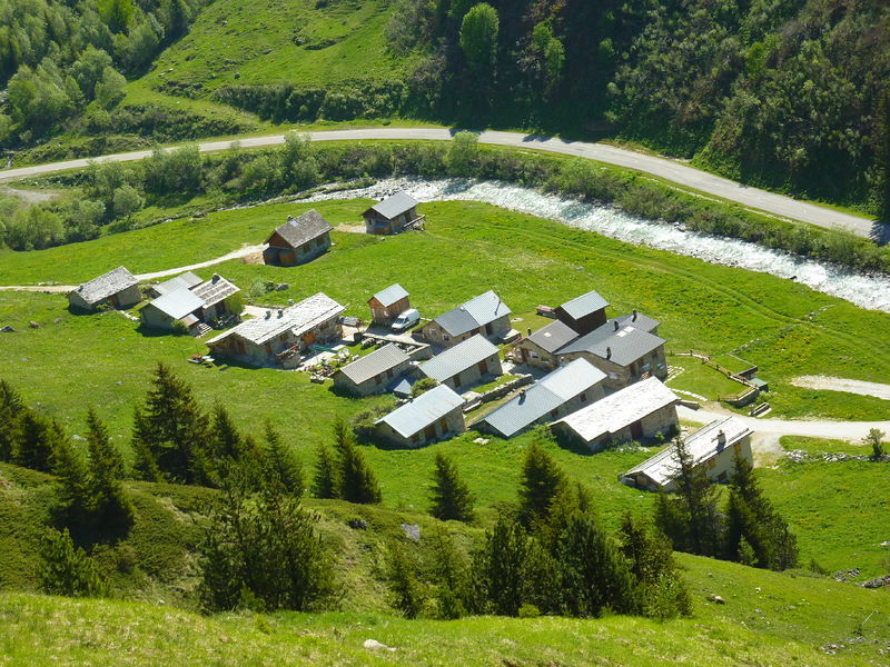
1. Go through the hamlet of Les Prioux and follow the route up on the left (path no. 59) from the Prioux pastoral road.
2. Leave the “sentier du lièvre” on your left and continue until you reach the intersection with the “sentier de Fontaine” (trail no. 57).
3. Reach the summit of Petit Mont Blanc via the hut and then the Col du Mône (path no. 57).
4. On your return, retrace your steps to the junction with the “de Fontaine” path (path no. 57) and continue on this path to the next intersection.
5. At the intersection, descend to the hamlet of Les Prioux via the old people’s footbridge (path no. 58).
From the summit, you can reach the Avals valley (Courchevel) or the Grand Plan and Merlet lakes refuges on the other side.
ALTERNATIVE ROUTE UP: PETIT MONT BLANC BY LE SENTIER DE FONTAINE (difficult) +15 minutes, +1.5 km
(in addition to the main itinerary)
Easier but less varied.
1. From the Prioux parking lot, follow the Promenade Savoyarde de Découverte trail to the old-timers’ footbridge (trail no. 58), then take the departmental road to the Pont de la Pêche.
2. Follow the pastoral access road to the Roc de la Pêche refuge (path no. 49) to the first fork on the right towards Petit Mont Blanc on the “de Fontaine” path (path no. 57).
3. Follow this route to the summit.
4. For the descent, return to the main itinerary at step 4.
LOOP VARIANT : PETIT MONT BLANC PAR LE COL INFÉRIEUR DES SAULCES (2 371 m) (difficult) +5h30, +1 085 m ascent, +10 km
An interesting alternative for very good walkers, this is an opportunity to discover a superb meadow of blue thistles classified Natura 2000. This trail is not recommended for the descent, and should be avoided in wet weather or after a heavy thunderstorm.
1. From Pont de Gerlon, retrace your steps along the departmental road towards Pralognan-la-Vanoise, then turn left 100 m further on, to reach the start of the “Les Diés” trail (trail no. 61).
2. Continue along the path through the Natura 2000 reserve (trail no. 61) to the lower Col des Saulces flat (2,371 m).
3. From the plateau, turn left to reach the summit and the panoramic table. From this junction, you can reach the actual Col des Saulces (2,456 m), then climb to the Passage de Plassa, a superb viewpoint with a monumental cairn (2,740 m); back at the Col des Saulces, you can then reach the summit of Petit Mont Blanc.
4. Descend the other side to reach the Col du Mône.
5. Fork left (path no. 57), then a few meters upstream from the Mône hut, take the path known as “de la cabane forestière” or “des 100 virages” via the Col du Grand Bechu (path no. 60), considered by locals to be the most beautiful access path to the Petit Mont Blanc (path possible on ascent).
6. At the forest hut, follow the pastoral road to the Gerlon bridge.