Hameau de la Montagne – Rocher de Villeneuve – Crête du Mont Charvet
The Rossa forest is home to a rich and varied flora and fauna – a paradise for wilderness enthusiasts!
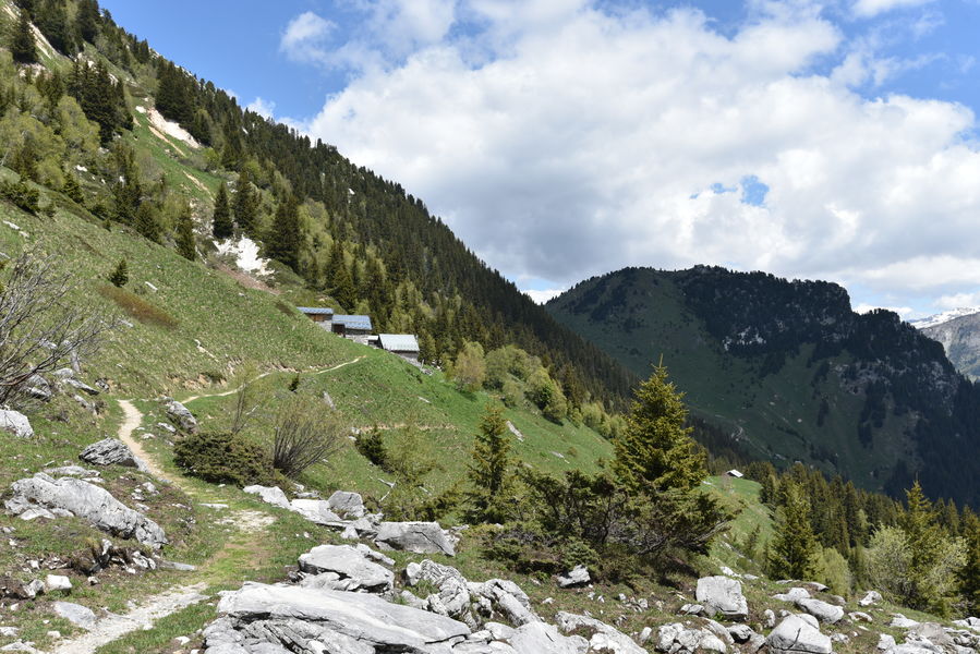
Tucked away in the midst of flower-filled high meadows, the hamlet of La Montagne is home to one of the few springs in the area. The alpine chalets have been beautifully renovated over the last thirty years.
Guidebook with maps/step-by-step :
1. At Le Plan, from Rue de l’Arbellaz, look for the Bois de la Rossa forest track where the route to La Montagne begins (path no. 70). This route crosses the boulder-strewn Grande Perrière and leads to the hamlet of La Montagne.
2. On the way down, follow the Rocher des Fattes path (path no. 75), which joins the path taken on the way up (path no. 70).
3. Return to the village center along the same route as the outward journey (path no. 70).
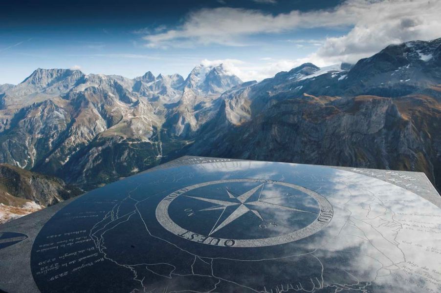
VARIATION: ROCHER DE VILLENEUVE (2,515 m) (easy) +1h30, +300 m ascent, +4 km
(in addition to the main itinerary)
Follow the previous itinerary to stage 2.
1. Go through the hamlet, down the path (path no. 80) to the Chalets des Rossechets (dry rocks).
2. Follow the path to Rocher de Villeneuve via Col du Golet (path no. 80).
3. On the way down, retrace your steps to Les Rossechets, then descend the Rocher des Fattes path (path no. 75) and return to the village center via the forest track (path no. 70) you took on the way up.
A little below Les Rossechets, you can descend the sentier des envers (path no. 76) to reach the village of La Croix.
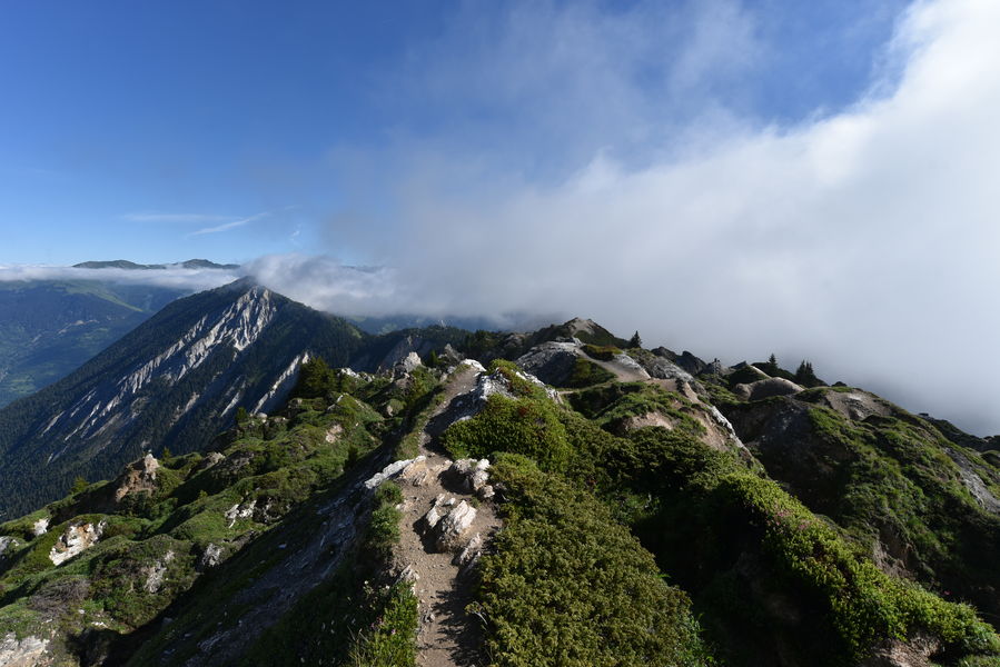
VARIATION: CRÊTE DU MONT CHARVET (2,403 m) (difficult) +7h30, +1,000m ascent, +5 km, Mid-June (snow) to late October
A must-do hike in Pralognan-la Vanoise, with breathtaking panoramic views over the Pralognan and Courchevel valleys. The trail along the Mont Charvet ridge is aerial, narrow in places, and cut through a gypsum massif criss-crossed by steep gullies and numerous dissolution funnels… a prime spot for chamois in the middle of a cembraie forest (a stand of cembro pines known as “arolles”, a wood prized by sculptors)!
1. At Le Plan, from Rue de l’Arbellaz, look for the Bois de la Rossa forest track, where the route to La Montagne begins (trail no. 70).
2. Follow the forest road to the first hairpin bend, and turn right onto the Rocher des Fattes route up the Combe de Jettemont (path no. 75) to the hamlet of La Montagne.
3. Follow the path to the Col de la Grande Pierre (path no. 77).
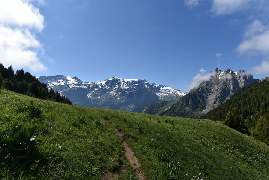
At the pass, you can reach the Vallée des Avals (Courchevel) or the Grand Plan and Lacs Merlet refuges on the other side.
4. Cross the Mont Charvet ridge (path no. 78) towards the Col du Golet (2,079 m) via the Col de la Dent (2,119 m). Ascent of the Pointe de Villeneuve optional.
5. Reach the “Rossechets” chalets via the path (path no. 80) through rich, dense meadows, then rejoin the ascent route (paths no. 75 and 70).