

Like an alpine ibex: 19km
A long, strenuous hike over varied terrain.
Detailed description available at the Tourist Office.
Guidebook with maps/step-by-step :
1. Go behind the Crédit Agricole and then past the fire station towards the entrance to the village, at the Petit Poucet track.
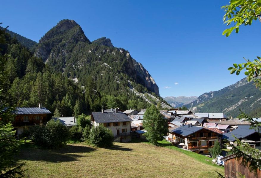
2. Climb above the La Rossa garage via the ski slope and follow a wide, often muddy path along the main road to the Route de La Croix. Follow the road up to this pretty listed village.
3. Climb the Corniche path – steep! – then head back down to the village of Pralognan along the passable road.
4. Follow the road around the Plateau. Climb towards the hamlet of Chollière.
View of Grande Casse and the Vanoise valley from the top of the Chollière lookout. A few stretches of tarmac road.
5. After the Chollière lookout, head south through the hamlet and up to Les Planes on a rolling path.
6. Cross the Gerlon bridge and then descend to the cross-country ski trail. There are a few variations in gradient along the way.
7. Join the Rocher Blanc path and cross the Isertan forest, taking care on uneven ground. Keep to the side, following the very rolling path of the penstock.
8. Take a short diversions via the Cirque de l’Arcelin on a wide, rolling track. Take advantage of the flat area of this glacial cirque to look around and head down towards the village on the GR55 via the hamlets of Les Fontanettes and Les Bieux.


