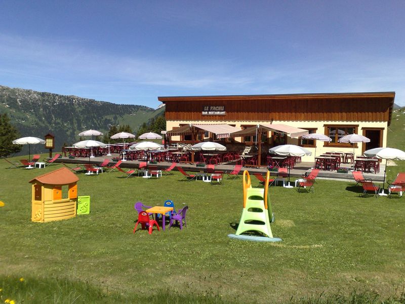
Mt Bochor – Panoramic interpretive sign
Located at 2023m elevation, Mt. Bochor offers views in every direction and a panoramic interpretive sign to explain the surrounding mountain landscapes. Enjoy breathtaking views of the area’s glacier-capped peaks.
In summer, accessible on foot from the village or the Les Fontanettes parking lot. In winter, you must take the aerial tram up and down.
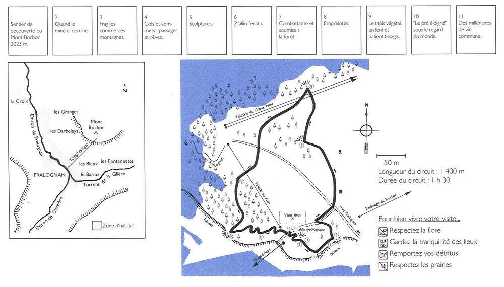
Guidebook with maps/step-by-step :
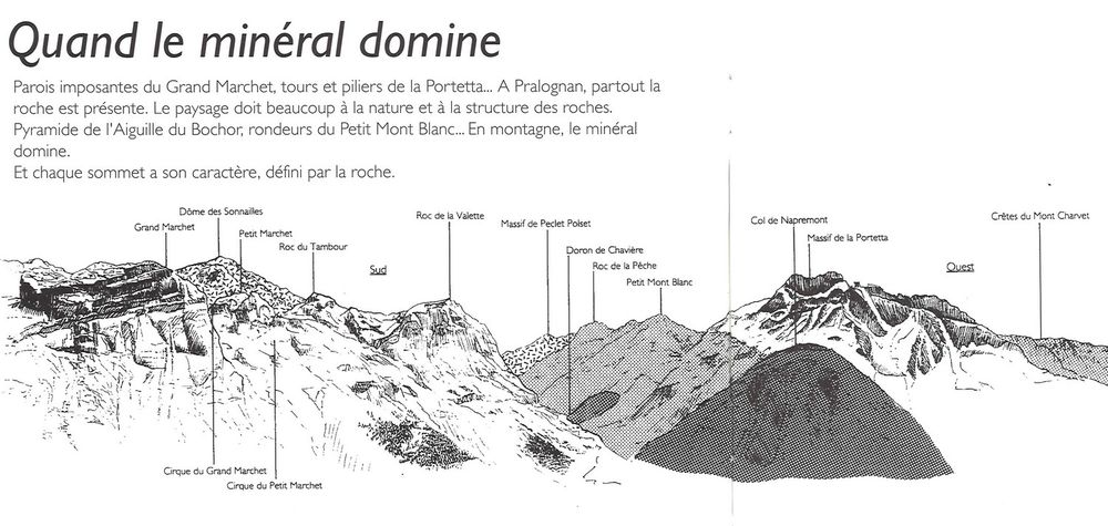
1. From the Bouquetin car park, go to the center of the village at the start of the Mont Bochor cable car. 2. After a transfer of 600 m of elevation gain in 3 minutes, you will find the start of the trail on the Bochor plateau, about 100 m after leaving the cabin. This discovery trail offers 11 reading tables on the different aspects of the Alpine landscape and environment. You will be able to observe, depending on the type of soil and the exposure, a varied flora with the presence of a multitude of insects and butterflies (Apollo, etc.), some of which are very rare, between forest and alpine lawn. You will share the space with a herd of dairy cows. A geological table awaits you at the highest point of the route, at 2,023 m. Before your eyes, part of the Pralognan ski area and in the background the Aiguille de la Vanoise and the highest peak in Savoie: the Grande Casse. VARIANTS of descent: 3. To return to the station we offer two options: Just take the cable car back! 3. Trail no. 7 (then 17) Reach the start of the trail by taking the pastoral route (from Pachu 2000). After the Ancolie chairlift station, take the 2nd path on the left. Steep but comfortable and well marked path that takes you directly to Pralognan (600 m drop) passing through the hamlet of Fontanettes.